Guest Article: Drone technology for community-driven change
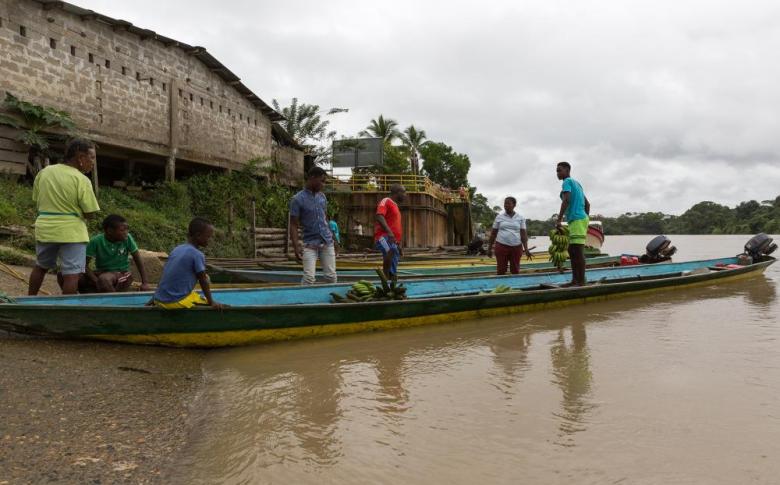
“Colombia has some of the most biodiverse land and waterways in the world. Due to changes in the climate, natural disasters, and population movements, however, these areas are significantly at risk,” warns Adam Marlatt, Senior Technical Adviser for the World Food Programme (WFP).
As part of its support to the Colombian Government in addressing food insecurity and malnutrition, WFP is exploring innovative ways to use technology to improve the efficiency and quality of assistance. These include unmanned aircraft systems (UAS), commonly known as drones. Compared to traditional satellite imagery, drones are a cost-effective, highly accurate and versatile tool for data collection that can be used for tasks as diverse as monitoring crops and biodiversity, preparing for emergencies and carrying out post-disaster assessments.
Coupling science with traditional knowledge
IT Officer Fernando Sánchez has worked with WFP in Colombia for 15 years. He first became involved with drones in 2017 when a Colombian private company began monitoring cross-border movements from Venezuela to understand where refugees were settling. “It was inspiring to see how this technology can help United Nations (UN) agencies deliver aid where it is needed most,” he says.
In collaboration with colleagues, in 2017 Fernando proposed a solution to build the capacity of Afro-descendant and Awá indigenous populations along the Colombia-Ecuador border to better understand climate threats.
“Afro-descendants and Awá populations living in the Colombia-Ecuador watersheds suffer from high levels of food insecurity, vitamin and mineral deficiencies, chronic malnutrition and unsatisfied basic needs — a situation made worse by climate variability and shocks,” he explains.
The concept was simple: combining knowledge from local communities as well as from scientific research methods with data from drone technology to rapidly map out indigenous plants, rain forest and watersheds and identify areas that may be at risk, and to mitigate the threats before they become a disaster.
Read the full article here